Trail A3 - The ridge forests
A ring trail between the charming forests of the western ridge, from the crossroads above Case Antolini, to Monte Dordera's northern side.
Length: 3.5 km
Difference in altitude: 150 mt
Travel time (hours): 1:05
Suitable for: everyone
Trail description
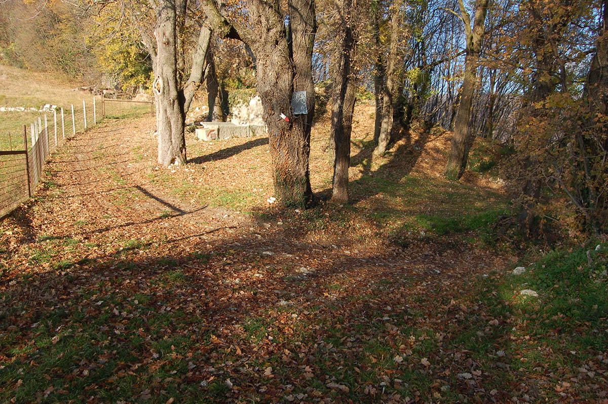
A short trail, filled with interesting things to see. From Case Antolini's crossroads, leave the paved road and continue north-east downhill, along the steep forest road that runs along the ruins of an old ice house.
The downhill stretch ends near the Salvalaio district, along an unpaved county road. Continue southward, on a slight climb, until you reach a junction near Monte Dordera.
From the junction, climb up north-west, along a dirt road, until you reach a crossroad. Take the right along a climbing trail, close to a few houses, to get back to the Case Antolini crossroads (starting point).
Warning: in order to use the map of the GPX file you need an external application downloadable from PlayStore or AppStore.


Project financed in part with the contribution of Bim Adige
© FEET Comune di Grezzana. Tutti i diritti sono riservati | Privacy Policy | Cookie Policy
The textual and video-photographic materials are owned by the Municipality of Grezzana. Even partial reproduction is forbidden without prior authorization.


