Length: 8.5 km
Difference in altitude: 400 mt
Travel time (hours): 2:30
Suitable for: hikers
Trail description
Il percorso parte dalla suggestiva chiesa romanica di San Micheletto, nei pressi dello svincolo della zona artigianale di Grezzana; a poche decine di metri dalla chiesa, tra una strada di recente realizzazione e un vecchio cancello, si inizia a salire lungo un evidente sentiero che in breve si inoltra in un fitto bosco collinare. Il tratto si inerpica con ripetute curva fino a sbucare, nei pressi di un’abitazione, in un bel uliveto, che si attraversa sempre in salita fino alla strada sterrata di accesso alla zona; in breve si giunge ai vecchi capannoni abbandonati de La Marinara, deviando però a destra, in piano, fino a località Bussoloni, tipica contrada collinare a schiera. Poco dopo Bussoloni la strada torna asfaltata fino ad un evidente incrocio, dove si devierà a sinistra su stradello sterrato e si inizierà la risalita della dorsale fino alle pendici occidentali del Monte Tombeo e alla strada asfaltata che conduce a Busoni. Il tratto è particolarmente panoramico e permette, nelle terse giornate autunnali e invernali, di avvistare le vette appenniniche e tutta la bassa Valpantena fino ai quartieri di Keep right to continue a few more hundred meters, passing in front of the amazing Grotta del Falasco under the rocks, and then reaching the ruins of the Falasco artefacts, including the peculiar round tower staircase, which connects the plateau. Continuing by foot, you can reach the ruins of an artefact on the rocky wall..
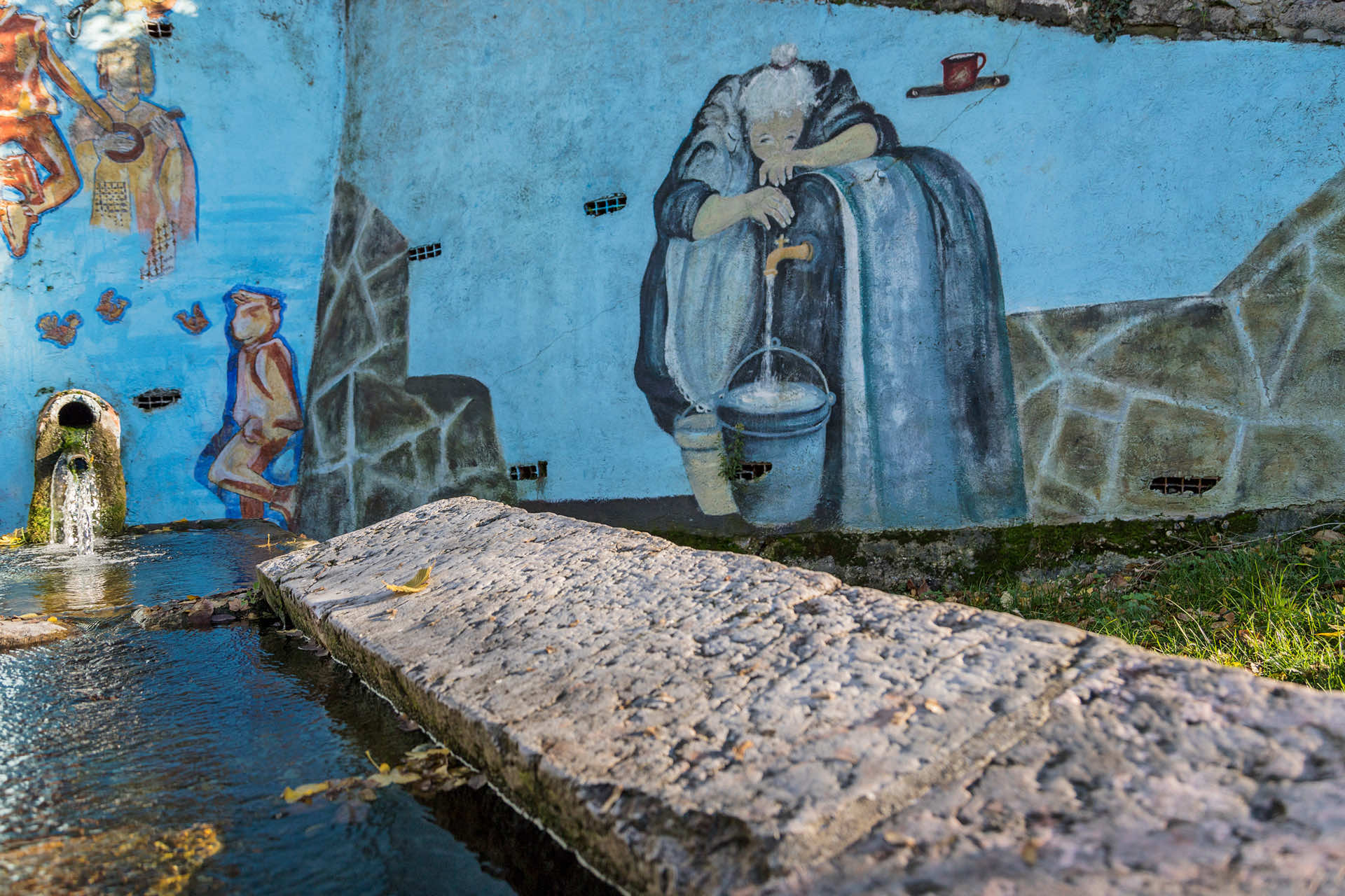
Right after Bussoloni, the road is once again paved, up to a clear crossroad, where you must turn left on a dirt trail, and start climbing up the ridge, until Monte Tombeo's western foothills, and the paved road to Busoni. After crossing Busoni, with its wash house and several religious popular art elements, cross the provincial road near the new roundabout, and head toward Rosaro - a hillside district of Grezzana.
From Rosaro's centre, continue downhill along the paved road that, running on the ridge, descends toward Mizzago, right before crossing the provincial road again (this is a Dangerous Point, be careful!), and then continuing down on the dirt road toward Bussolini, before doing the stretch back to La Marinara and the San Micheletto church
Stages of the trail:: Church of San Micheletto (202m) - La Marinara (330m) - Bussoloni (383m) - Busoni (573m) - Rosaro (596m) - Mizzago (490m) - La Marinara (330m) - Church of San Micheletto (202m).
Warning: in order to use the map of the GPX file you need an external application downloadable from PlayStore or AppStore.


Follow Feet's signs
All trails are marked by signposts, trail poles indicating the path (sometimes with information stands) and message boards.
Orange indications refer to hiking trails, while light blue ones to biking trails.


Project financed in part with the contribution of Bim Adige
© FEET Comune di Grezzana. Tutti i diritti sono riservati | Privacy Policy | Cookie Policy
The textual and video-photographic materials are owned by the Municipality of Grezzana. Even partial reproduction is forbidden without prior authorization.