Trail D3 - Monte Castello ring trail
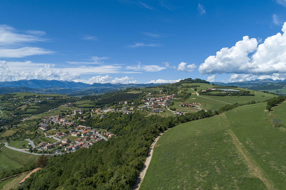
Hiking trail between Monte Castello di Romagnano's districts and amazing views.
Length: 7.7 km
Difference in altitude: 300 mt
Travel time (hours): 2:15
Suitable for: Everyone
Trail description
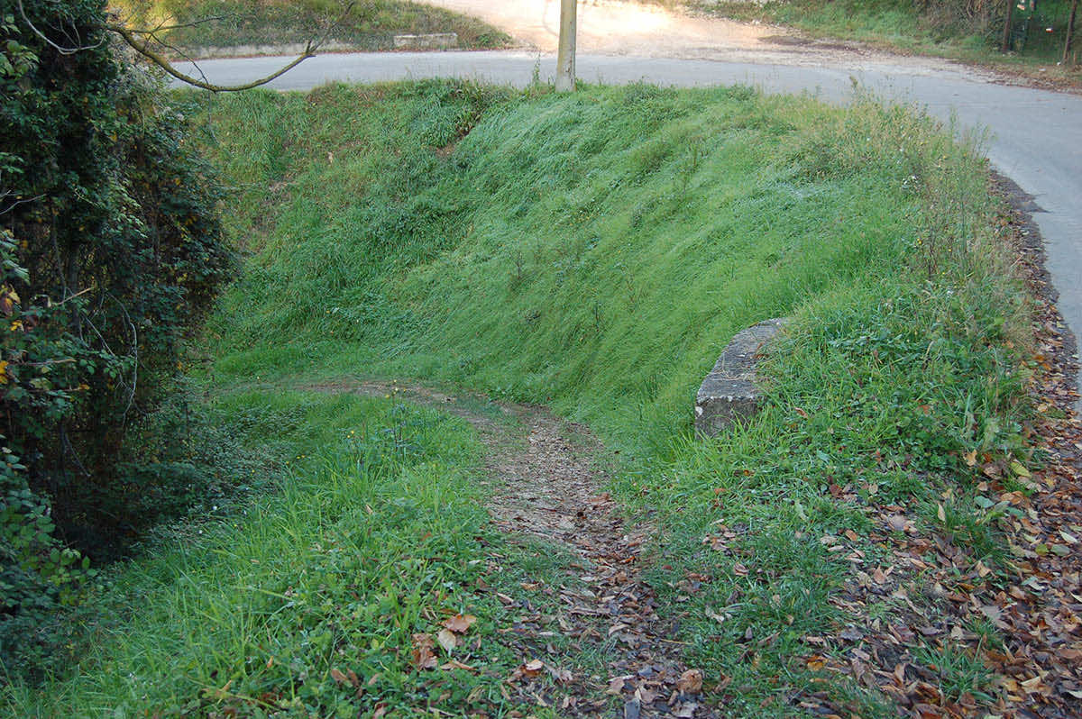
The trail leading to Monte Castello starts in Romagnano's square. Turn right along Via Ferraris. At the end of the paved road, continue along a trail that climbs up, until you reach the paved road that takes you to the ridge, in La Croce. In front of the weight house, climb up a few hundreds meter, until you reach the junction to Erbino, and turn right to reach this scenic town.
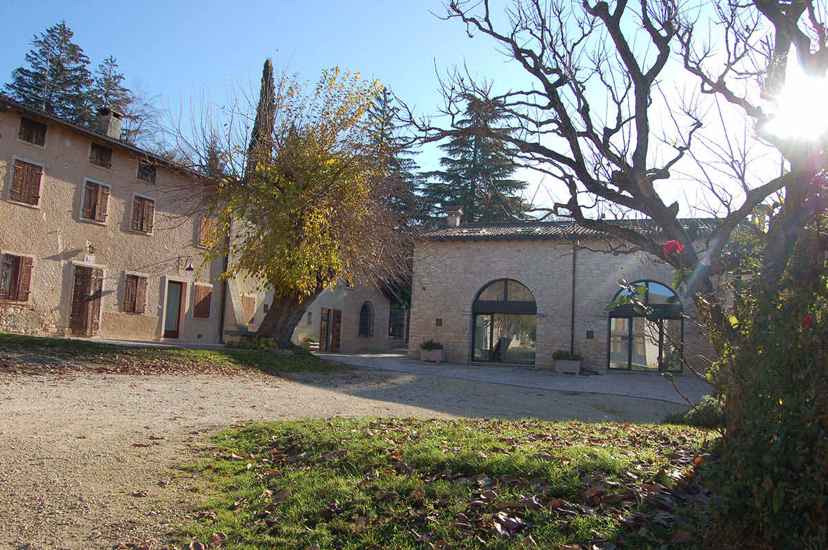
The paved road that takes you there is pleasant and not very busy; after the watershed and the tiny abandoned town of Valle, climb up until you reach the junction to Erbino, where you will leave the paved road to cross this picture-perfect locality (today a modern winery), and climb up among the vineyards, along the entire western side of Monte Castello, passing the junction to Il Maso.
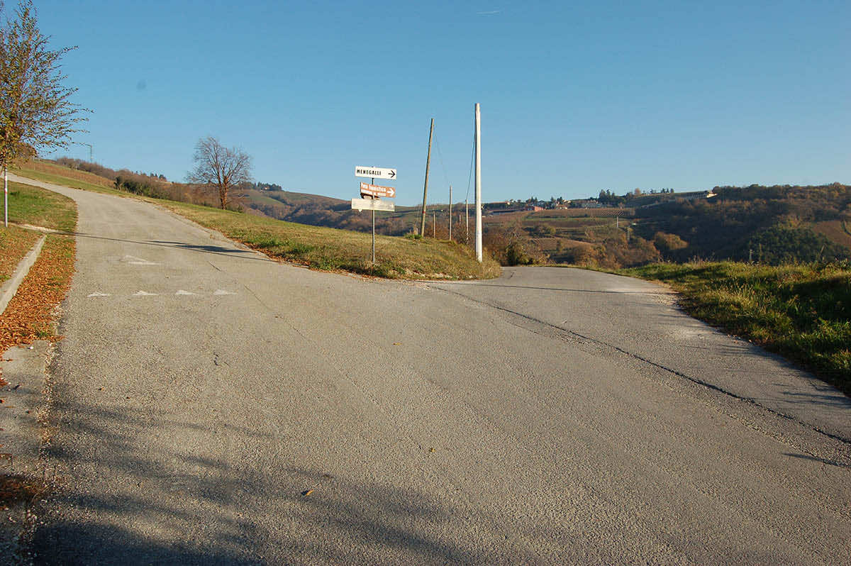
The climb ends on the crossroad north of Monte Castello, on the small pass that would lead toward Azzago and Casale; on the crossroad, continue south and walk down the paved road, on Monte Castello's western side, among wide pastures and small lands with cherry trees. Along the downhill road, the views open up, from Monte Baldo's peaks up to the Po Valley and the Appenine's peaks. The dirt road reconnects with the junction to Erbino and with La Croce, where you will take the outward trail back to return to Romagnano, in the town's square. Erbino e con località La Croce, dove si ripercorrerà il tratto d’andata per ritornare a Romagnano nella piazza del paese.
* At this crossroad, trails D3 and D4 intersect; you can combine them, avoiding the La Croce / Romagnano path, for an overall length of 13,2km, an altitude difference of ± 540m and an average travel time of 3h50m.
Path: Romagnano (370m) – La Croce (468m) – Valle (495m) – Erbino (554m) – bivio Monte Castello (661m) – La Croce (468m) – Romagnano (370m).
Stages of the trail:: Romagnano (370m) - La Croce (468m) - Valley (495m) - Erbino (554m) - Monte Castello junction (661m) - La Croce (468m) - Romagnano (370m).
Warning: in order to use the map of the GPX file you need an external application downloadable from PlayStore or AppStore.
Project financed in part with the contribution of Bim Adige
© FEET Comune di Grezzana. Tutti i diritti sono riservati | Privacy Policy | Cookie Policy
The textual and video-photographic materials are owned by the Municipality of Grezzana. Even partial reproduction is forbidden without prior authorization.


